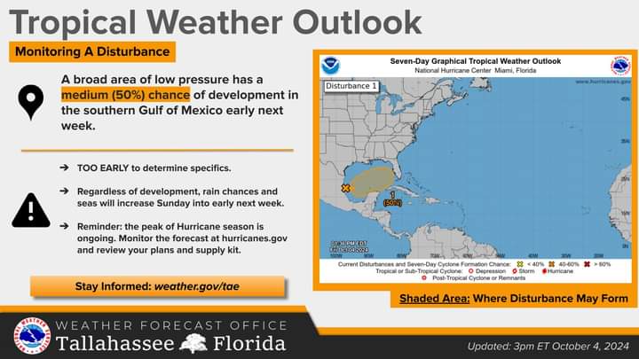
(WDNews) – With Helene still fresh on everyone’s mind, meteorologists are now closely watching an area of disturbed weather in the southwest Gulf of Mexico.
This system has a 50% chance of developing into something more significant as it moves east or northeast across the Gulf early next week.
While it’s still too soon to predict specific impacts, forecasters suggest we can expect increasing rain chances and higher seas beginning Sunday and into the early part of the week.
Officials are urging residents to stay informed and cautious of social media posts about storms that haven’t developed. Forecast models will continue to shift, and locking into one too early can lead to confusion.
Updates will be provided as more details become available.