Key Points:
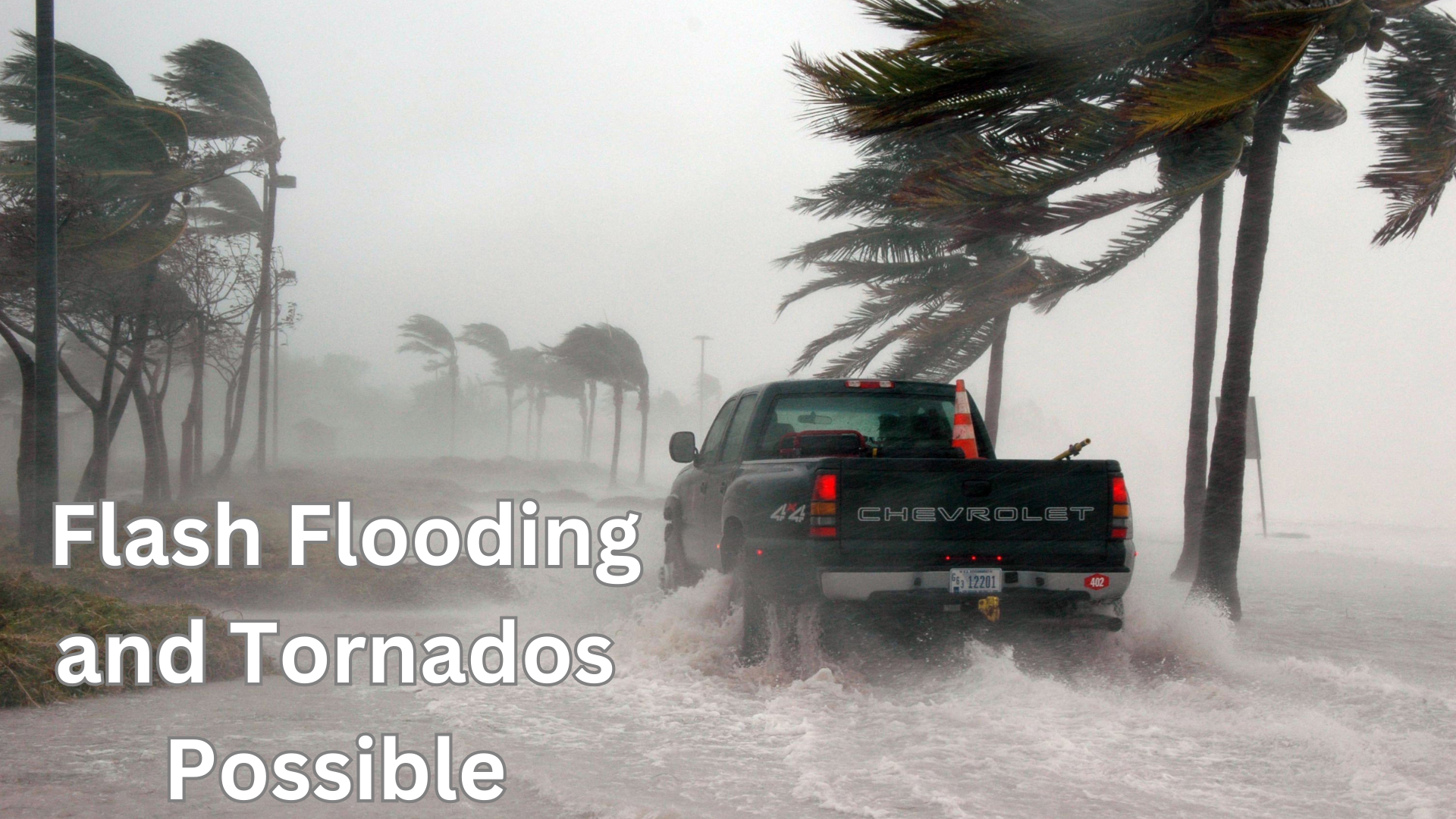
– Tornadoes, flash flooding, and marine hazards expected Wednesday and Thursday.
– Southeastern Alabama, Florida Panhandle, and parts of Georgia are under watch for scattered flash flooding.
– High surf and dangerous rip currents to threaten Emerald Coast beaches.
Full Story:
Hurricane Francine is set to make landfall along the Louisiana coast this evening, but the storm’s outer bands are expected to bring significant peripheral impacts to parts of the tri-state area, including southeast Alabama and the Florida Panhandle.
Residents can expect the possibility of tropical tornadoes, with a growing threat beginning late Wednesday night and continuing into Thursday. A warm front lifting inland will bring higher chances of severe weather, especially in the Florida Panhandle.
Additionally, heavy rainfall could result in scattered flash flooding. The Florida Panhandle has a Flood Watch in effect, with rainfall totals possibly reaching up to 8 inches in certain areas. Coastal regions along the Emerald Coast should prepare for life-threatening rip currents, high surf, and possible beach erosion, especially during high tide around 3 a.m. CDT on Thursday.