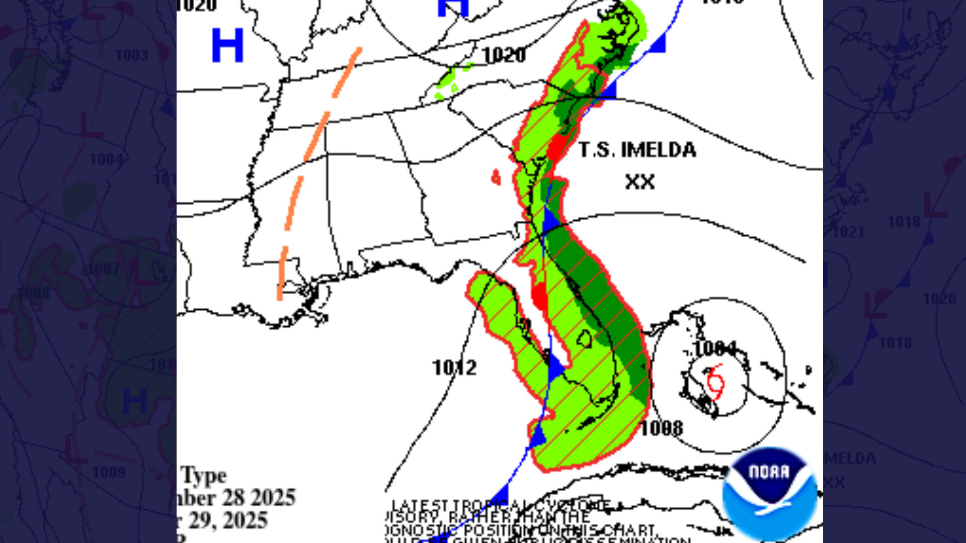
(WDNews) – The National Weather Prediction Center says tropical moisture pooling along a stationary front will bring showers and thunderstorms to the Southeast Coast starting Sunday evening.
Moisture is forecast to increase overnight into Monday and Tuesday, leading to periods of heavy rainfall. A Slight Risk (level 2 of 4) of excessive rainfall has been issued for parts of the Southeast through Tuesday.
Forecasters warn that the heaviest rain could cause localized flash flooding, particularly in urban areas, along roads, in small streams, and in low-lying spots.
Meanwhile, Tropical Storm Imelda is expected to track northward over the Bahamas before turning east by Tuesday, moving away from the U.S. coast.