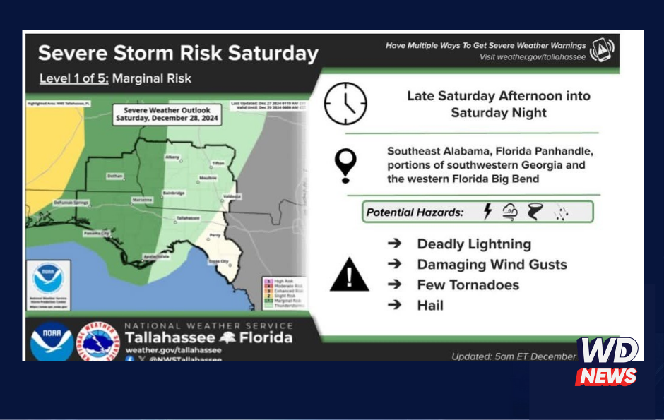
DOTHAN, Ala (WDNews) – A heads-up for Wiregrass residents this weekend: the National Weather Service has placed much of our region under a Marginal Risk (level 1 of 5) for severe weather beginning Saturday evening into early Sunday morning. This risk includes areas west of a line from Albany, Ga., to Apalachicola, Fla.
Forecasters say a Slight Risk (level 2 of 5), which indicates a higher chance of severe storms, is just to our west and could expand depending on how conditions develop over the next 24 to 36 hours. Expect isolated showers and storms to move in Saturday afternoon and evening ahead of an approaching cold front. Some of these storms could pack damaging winds, with hail and even a tornado or two possible.
As the system progresses, the severe weather risk continues into Sunday morning and throughout the day. Once again, the region will remain under a Marginal Risk (level 1 of 5) as the cold front moves through. Areas to the north, including parts of Ben Hill County, fall under the Slight Risk zone, which could shift further south as conditions evolve. Damaging wind gusts remain the primary concern, but isolated tornadoes and hail cannot be ruled out.
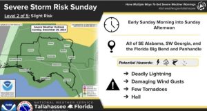 National Weather Service out of Tallahassee
Stay weather-aware this weekend, and be sure to check for updates as conditions could change quickly. Keep a way to receive weather alerts overnight and plan accordingly, especially if you’re traveling or have outdoor plans. Stay safe!